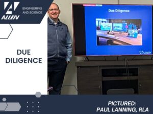
AllenES provides comprehensive Due Diligence services to our clients in order for them to make sound strategic decisions when making major land acquisitions. Paul Lanning, RLA presented how our firm can utilize geospatial data from publicly available sources to seamlessly transition between ArcMAP and AutoCAD Civil 3D to create technically accurate drawings and professional graphics to assist with the necessary due diligence efforts.


